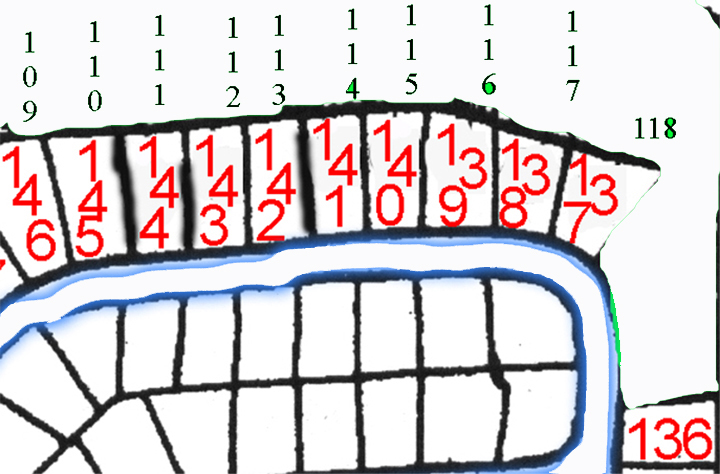
The maps below are what I use on the perimeter walk. The post numbers
are on 4 feet tall 4X4 wooden posts. The posts demarcate the boundary between
the greenbelt and lot owner's property. Here is the big picture.
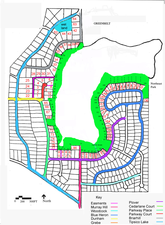
The maps start at North Gate, on the Livingston side. Post number 1 is
at the water's edge. Some of the posts are on the steep hillside,
and there are some additional posts between 3 and 4. Between posts
11 and 14 the greenbelt goes up to the road. There are steps from the lake
leading up to this area. Watch your step.
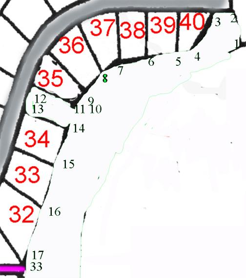
Note the big jump in numbers from posts 17 to 33. This is because we
own a really cool area that goes between lots that goes out to Dunham Road.
You can see it on the big picture, the first image on this page, and in
this next image that goes from posts 34 to 44. The lots in this area are
on Parkway Court.
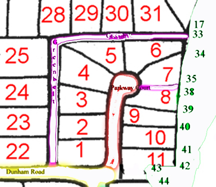
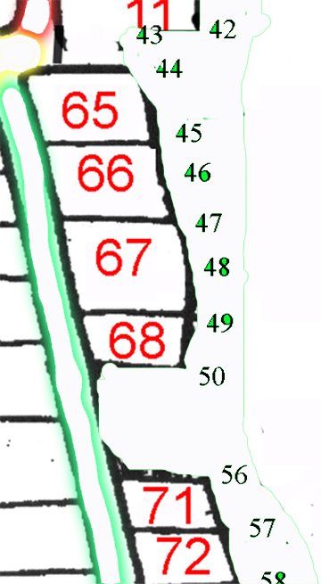
From post 44 we go to post 58, which is the area around West Beach.
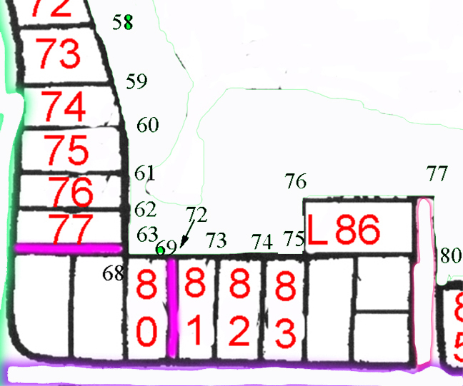
Now we are heading into the Lagoon area, between posts 58 and 80.
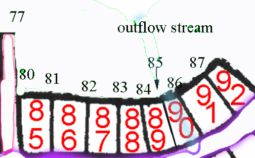
Between posts 77 and 87 we are by the outflow stream and the main park.
The posts between 87 and 93 are the East Beach area.
Between posts 93 and 102 we are heading north up the Oakland side.
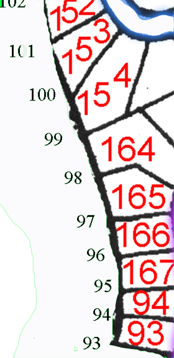
Between posts 101 and 108 we have some really nice Oak Hickory type forest.
This is some of our highest quality ecosytem.
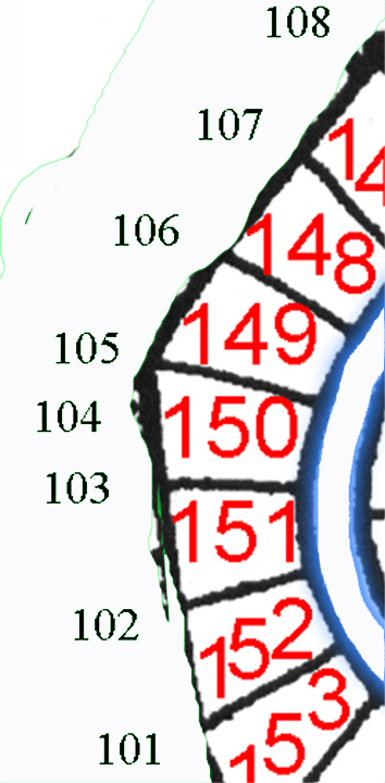
The final map shows the most northern portion of the greenbelt on the
Oakland side. This is also an incredible area. It gets marshy
along the shoreline here, but the wildflowers and ferns are fantastic.
